
Coastal erosion is transforming North Carolina’s shores at a rapid pace. Photographing these changes captures evidence that words alone cannot convey. Environmental shifts in NC affect communities, ecosystems, and infrastructure. Photography provides a visual history that helps scientists, planners, and residents understand the scale of change. Besides, repeated images over time show trends that inform adaptation strategies. Using photography in this way allows for both scientific tracking and public engagement. Therefore, understanding techniques and tools for documenting these changes is vital for anyone interested in coastal preservation.
Capturing a Moving Shoreline: How Erosion Transforms NC’s Coastline
North Carolina’s coastline faces high erosion rates due to storms, rising sea levels, and human activity. Of course, these forces can reshape beaches within months. Coastal communities like the Outer Banks and Cape Lookout are particularly vulnerable. Photographers documenting these areas must plan for safety and accessibility. Regular observations can track the shoreline movement and identify patterns over time. Recording changes consistently provides invaluable insight for both science and local planning.
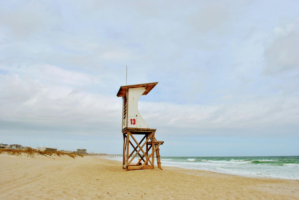
Storms leave visible scars on dunes and sandbars. Besides, tidal cycles slowly alter shorelines, making subtle changes important to capture. Photographers should focus on repeatable reference points to create meaningful comparisons. Elevated perspectives, such as drones or elevated boardwalks, reveal shifts not visible from ground level. These images help communities understand where protective measures or rebuilding may be necessary.
Field Gear That Works: Essential Tools for Coastal Change Photographers
A strong action camera and protective gear are critical for capturing coastal changes. Cameras must endure salt, wind, and water exposure. Similarly, waterproof cases and sand-resistant tripods protect equipment during harsh conditions. Drones allow for overhead shots, showing large areas at once. Photographers can also use smartphones for quick documentation, paired with apps for tide tracking and GPS tagging.
Lens choice is important for capturing both wide scenes and detailed features. Wide-angle lenses show beach expanses, while telephoto lenses highlight erosion patterns. In contrast, carrying multiple lenses may slow movement along dunes, so balance is key. Cloud storage and external drives safeguard images for long-term projects. Organizing images by date and location ensures the sequence of change is clear and traceable.
Community Impact: Using Photography to Support Coastal Resilience Efforts
Photographs are powerful tools for raising awareness about erosion and environmental shifts in NC. Local governments, nonprofits, and schools use visual documentation to plan interventions. However, consistent images over time provide evidence that drives funding and policy change. Residents can contribute to collective projects by sharing photos on their local beaches.
Community-driven photography projects also educate the public about risks and mitigation strategies. Similarly, engaging volunteers helps capture data across multiple locations. Photographers can collaborate with citizen science initiatives to enhance monitoring.
Many people who photograph North Carolina’s coast fall in love with the area and decide to move there. Community-driven photography projects can also reveal the hidden costs of moving in North Carolina. Erosion, flooding, and shifting shorelines may lead to expenses you may not expect, such as higher flood insurance or storm-related repairs. Similarly, these images help new residents understand the risks while appreciating the beauty that drew them to the coast in the first place.

Shot Strategies: Proven Techniques for Tracking Environmental Change
Fixed-point photography is the cornerstone of coastal documentation. Setting permanent markers allows photographers to reproduce exact angles. Furthermore, using reference objects like signs or rocks ensures consistent composition. Time-lapse photography is also effective for capturing seasonal or storm-related changes. Lighting conditions are crucial; early morning or late afternoon provides contrast and texture that show erosion clearly.
Photographers should create a shot checklist for repeatable images. In addition, aligning horizons and maintaining level framing improves comparison over time. Using natural features like dunes or trees as markers helps when physical markers are unavailable. Clear, methodical strategies enhance the accuracy of longitudinal studies. Following these methods results in a coherent visual record that supports scientific and community efforts.
Environmental Storytelling: Creating Images That Reveal Hidden Change
Photography communicates the impact of coastal erosion beyond numbers and charts. Highlighting damaged dunes, eroded paths, and shifting vegetation makes the effects tangible. Moreover, contrast images of past and present conditions reveal the scope of change dramatically. Scale is important; including objects like benches or buildings gives viewers context for erosion severity.
Ethical considerations guide responsible photography. Avoid disturbing wildlife or private property, and respect local regulations. Whereas dramatic shots may draw attention, accuracy remains the priority. Photographers act as observers, documenting changes without exaggeration. The combination of technical precision and storytelling ensures images serve both educational and advocacy purposes.
Environmental Shifts in NC: A Photographer’s Framework for Long-Term Documentation
Building a long-term visual record requires planning and consistency. Collaborating with scientists, schools, and local groups enhances the impact of images. Nevertheless, differentiating between natural seasonal changes and human-driven effects is essential. Multi-season photo logs capture both immediate and gradual transformations. Metadata and organized storage ensure images can be retrieved and compared accurately over the years.
Sharing photographs with local agencies supports coastal resilience planning. Residents can participate by contributing images of erosion near their homes. Besides, community engagement creates awareness and motivates protective measures. Structured documentation provides evidence to guide policy decisions and fund restoration projects. Over time, this framework builds a valuable historical archive of North Carolina’s shifting coast.
Tech Tools That Add Precision: Mapping, Drones, and AI Analysis
Drone technology offers precise overhead views of large coastal areas for cheap. Combining drones with GPS-enabled cameras improves accuracy. Similarly, AI tools analyze subtle changes, detecting erosion patterns that are difficult to see by eye. GIS mapping overlays show progression visually, making trends easier to communicate. Low-cost software allows beginners to experiment without heavy investment.
Understanding local drone regulations is critical for safe operations. Privacy concerns and restricted airspace near certain areas must be respected. Besides, careful flight planning ensures safety for both the photographer and the environment. Integrating technology with traditional methods strengthens the quality and reliability of photographic records.
Summary: The Ongoing Value of Documenting Environmental Shifts in NC
Documenting coastal erosion remains essential for understanding and responding to environmental shifts in NC. Photography captures changes that data alone cannot convey. Of course, repeated images over time provide a clear picture of trends and impacts. Consistent documentation supports scientific studies, community planning, and policy decisions. Protecting North Carolina’s coast requires both awareness and action, and photography plays a key role in both.
Discover more from GottaPics
Subscribe to get the latest posts sent to your email.